Precision Surveying with Advanced Technology for Smarter Solutions
Altigen Tech provides end-to-end land surveying solutions for public and private sectors, employing state-of-the-art technologies like 3D laser scanning, mobile mapping, UAV aerial surveys, and AI-powered 360° cameras to deliver precise and innovative results.
Survey Services
Conventional Surveying
GNSS, Total Station, CORS/VRS, Benchmarking, Geodetic Surveying
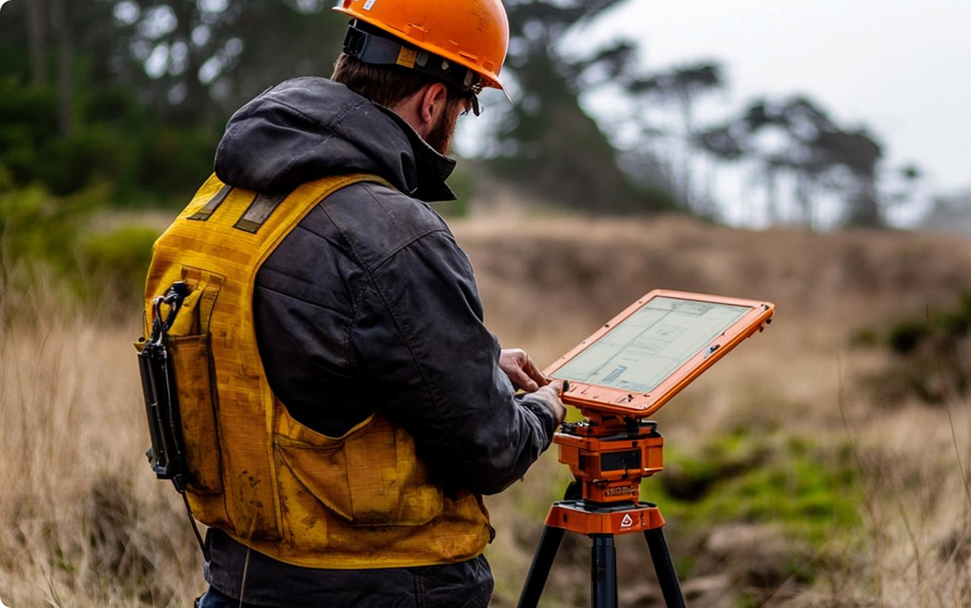
HD Surveying
Drone mapping, Laser Scanning, Mobile Mapping Service (MMS)
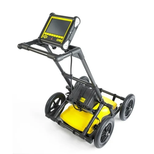
Underground Detection
Lazer & Camera inspection, GPR, RADIO, GEOPHYSİCAL TESTS
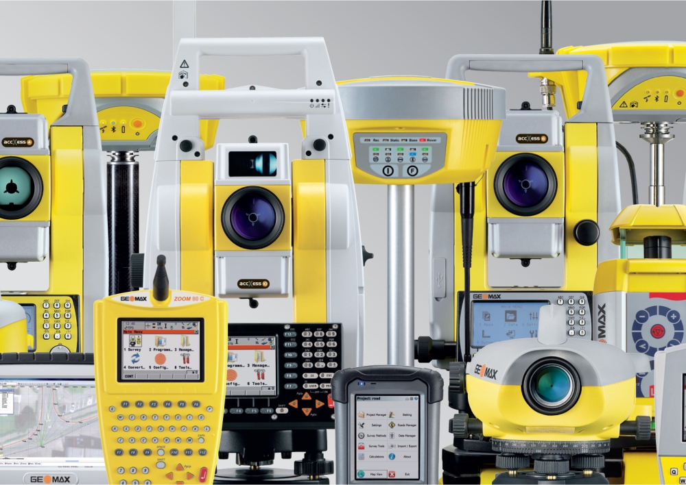
Survey Devices & Technologies
Conventional and Benchmark Surveying Equipment
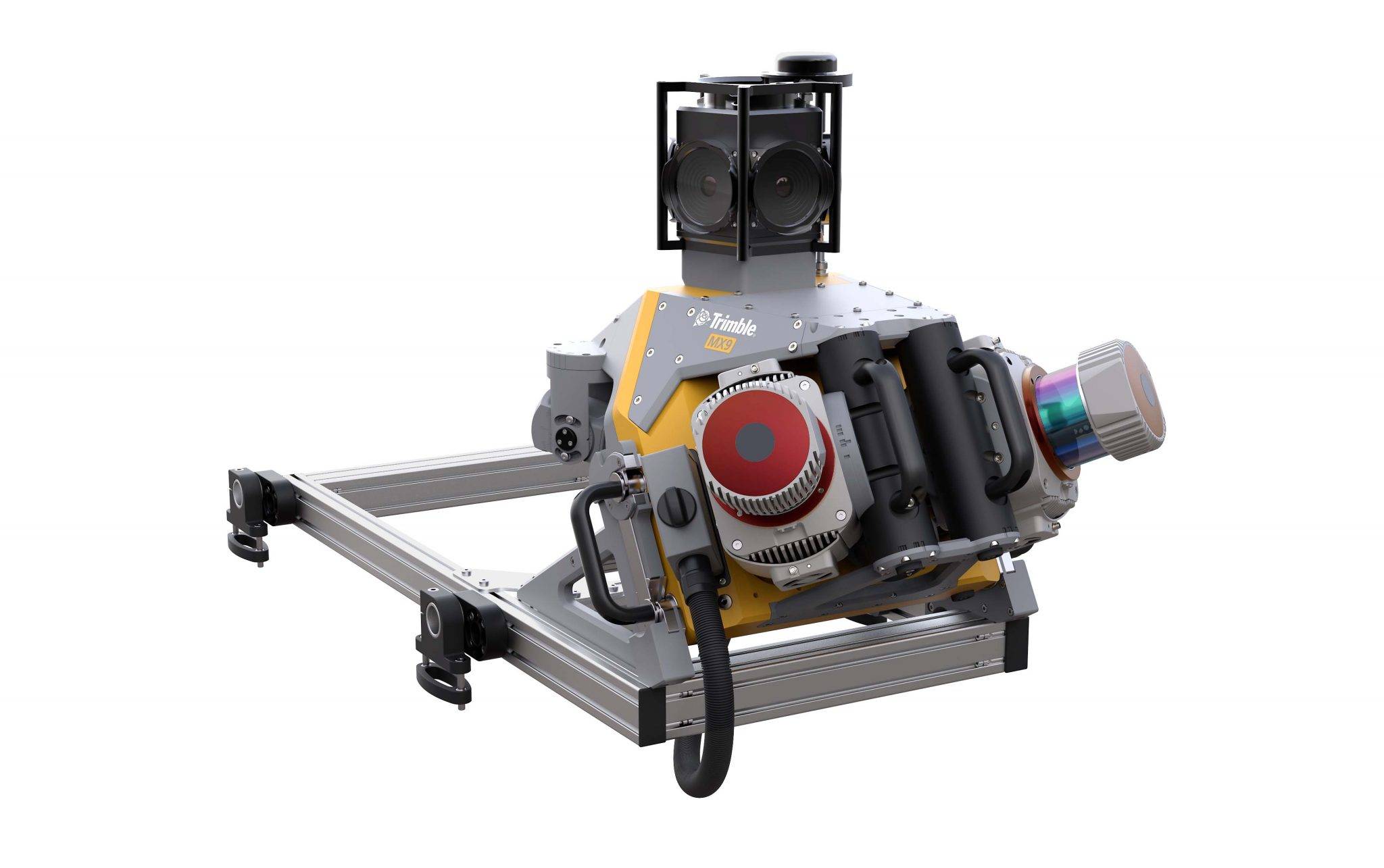
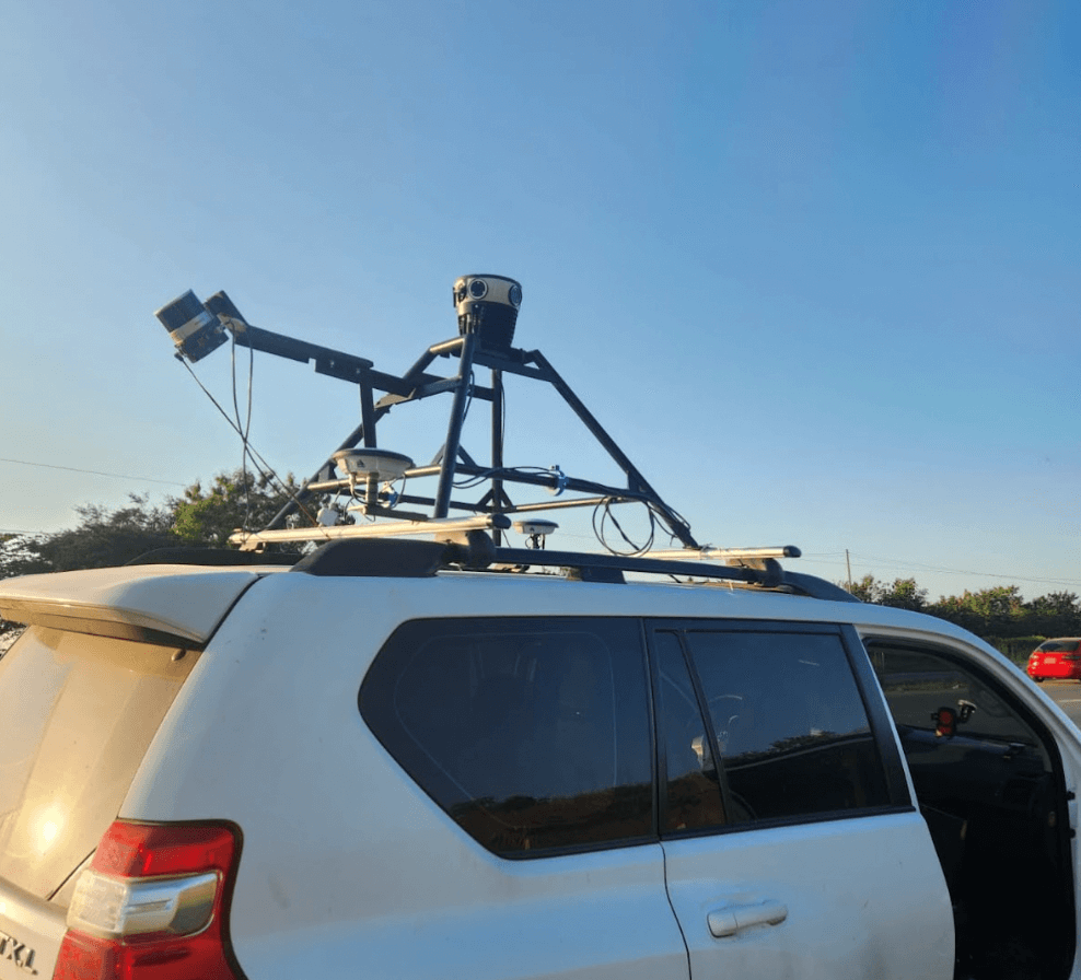
Mobile Mapping & Laser Scanning Equipment
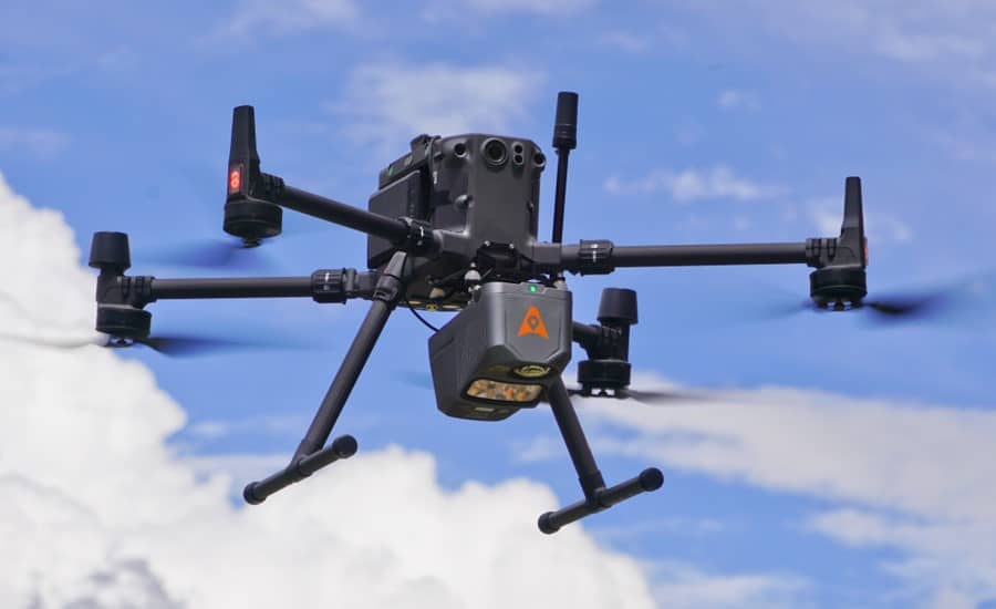
Drones Survey Mapping & 360 camera Mapping System
Underground Detection & Inspection
Innovative Surveying Solutions for Precise, Cost-Effective Results
Mobile Mapping System
At Altigen Tech, we deliver a full spectrum of land surveying services tailored to the needs of both public and private sectors. Our capabilities range from traditional surveying methods to advanced techniques like 3D laser scanning, mobile mapping, and UAV aerial surveys. Leveraging cutting-edge technology and innovative approaches, our skilled team ensures cost-effective solutions without sacrificing quality or timelines. With a strong presence across KSA, we bring a deep understanding of regional regulations and market dynamics, supported by highly trained field personnel ready to tackle diverse project requirements.
Cutting-Edge Surveying for Accurate, Efficient Solutions
Top Notch AI Innovative 360 Camera System
At Altigen Tech, we provide a comprehensive range of land surveying services for both public and private sectors. Our expertise spans from traditional surveying methods to advanced, high-definition techniques such as 3D laser scanning, mobile mapping, and UAV aerial surveys. By utilizing state-of-the-art technology, our skilled team ensures precise results while optimizing costs. With a strong presence across KSA, we offer in-depth knowledge of regional regulations and market conditions, guaranteeing high-quality and timely project delivery. Our mobile field personnel are fully equipped to manage a wide variety of surveying assignments, establishing us as a trusted partner for all your surveying needs.
Let’s Collaborate on Your Vision
Ready to bring your ideas to life? Whether you’re exploring innovative GIS solutions, digital twin development, or smart city strategies, our team is here to guide you every step of the way.