

We pioneer cutting-edge innovations, delivering solutions powered by the latest advancements in spatial technology and smart systems.
We stay at the forefront of technological evolution, delivering solutions driven by the latest spatial intelligence and cutting-edge innovations.
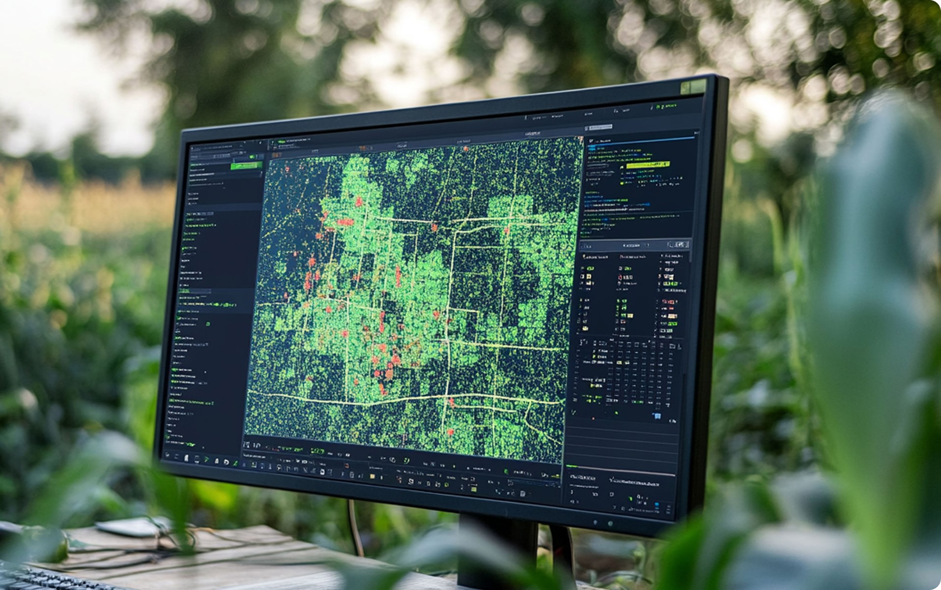
Data Development
Our GIS team at Altigen delivers high-precision data, empowering smarter decision-making and streamlining business operations. Our data fuels GIS platforms, mobile asset management, real-time tracking, and advanced routing solutions, enhancing efficiency and operational agility.
Collecting and assessing data
Data analytics
Developing physical database design
Modeling data flow diagrams
Designing maps and cartography
Data conversion and migration
Preparing data sharing policies, & data ownership
Remote sensing
Performing data QA QC
Developing physical database design
BIM for Structural & Architectural Design
BIM for Network Design & Infrastructure
BIM to GIS Data Integration
Solutions Development and Integration
Our solutions are centered on system integration to optimize the value of existing systems, eliminate duplication and redundancy, and enhance overall processes
Designing and developing Web, mobile, and desktop applications
Designing and offering Cloud Solutions
Designing and implementing Systems Integration
Designing and developing Smart City Solutions
Configuring and developing applications using the Esri ArcGIS Platform
Deploying the configured and customized solution
Providing documentation (Design Documents, User Manuals)
Developing System Architecture design
Testing and Acceptance
Professional services
Altigen Tech takes a consultative approach to understand client needs and deliver tailored geospatial strategies and technical support. Our experienced GIS consultants collaborate closely with clients, sharing knowledge and best practices to help them achieve their goals and strengthen in-house capabilities.
Preparing RFPs scope, technical proposals, financial estimation
Developing user need assessment and analyzing requirements
Preparing organization structure and staffing
Preparing RFPs and business documents
Geospatial Programs & Projects Management
Developing Geospatial and Smart cities, BIM strategies and Roadmaps
Training and knowledge
transfer
Let’s Collaborate on Your Vision
Ready to bring your ideas to life? Whether you’re exploring innovative GIS solutions, digital twin development, or smart city strategies, our team is here to guide you every step of the way.